Problem
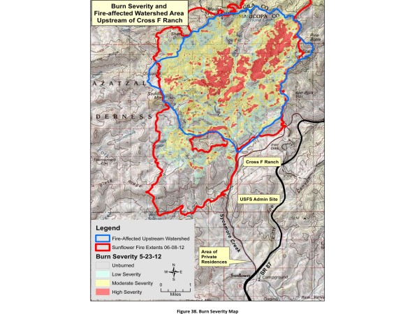
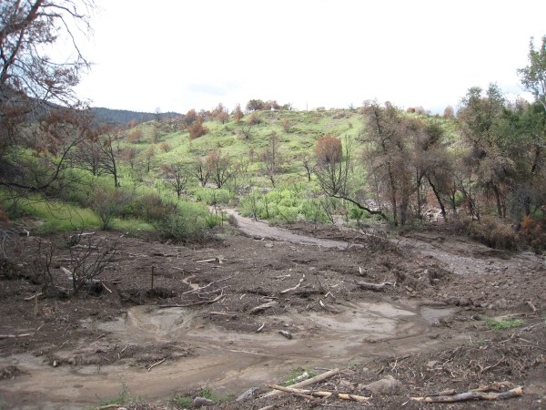
- Post-fire conditions in the area created the need for a quick inundation area analysis.
- Any at-risk properties would need to be identified.
- Flood travel times to affected properties from upstream gage would need to be estimated.
Approach
- Multiple profile HEC-RAS models using Countywide 10-ft contour topography were developed.
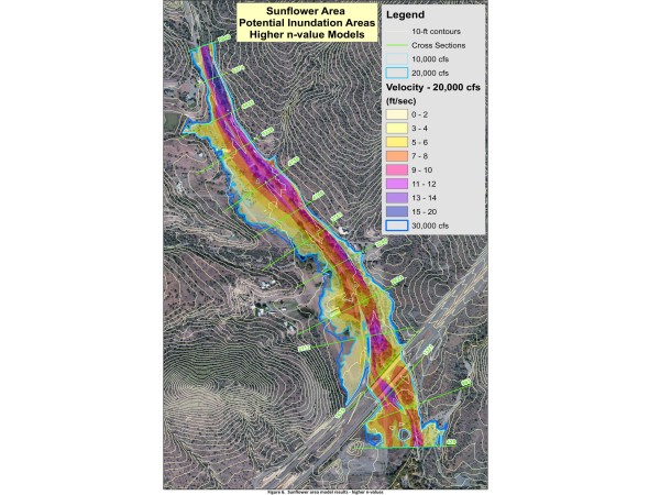
- Inundation areas and flow velocity zones were delineated using RAS Mapper software.
- Travel times were computed using the results of HEC-RAS.
Solution
- Inundation maps were provided for 10, 20, and 30 thousand cfs profiles.
- Travel time estimates were included for each profile.
- Estimates of the relation to potential rainfall based on USFS research documents from Southern AZ were provided.
Location
Maricopa County, AZ
Client
Flood Control District of Maricopa County
Project Leads
Ted Lehman


