Project Description
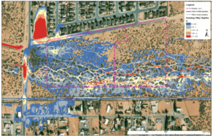
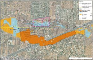
In support of the development of the Tierra Hermosa Subdivision, floodplain analysis and mapping were required to provide water surface elevation and mapping data necessary for completion of a Conditional Letter of Map Revision application and submittal to the Federal Emergency Management Agency. The study included review and validation of existing hydraulic modeling completed using 1-Dimensional HEC-RAS software, and inundation mapping for the 100-and 500-year, 24-hour events. Revision of the effective FEMA hydraulic model to reflect the post-project condition consisted of definition of the project area terrain based upon available topography and proposed subdivision grading plan, characterization of the spatially varied surface roughness based upon land use and vegetative cover, and incorporation of proposed hydraulic structures within the defined flowpath. As part of the CLOMR submittal effort, JE Fuller prepared the Technical Support Data Notebook, Endangered Species Act Compliance documentation, Annotated FIRM, and Work Map.
Services Provided:
- Floodplain Analysis & Mapping
- Hydraulic Model Review & Validation
- Model Updates for Post-Project Conditions
- FEMA CLOMR Application Support
Location
Tierra Hermosa Subdivision, NM
Client
Souder, Miller, & Associates, Inc.

